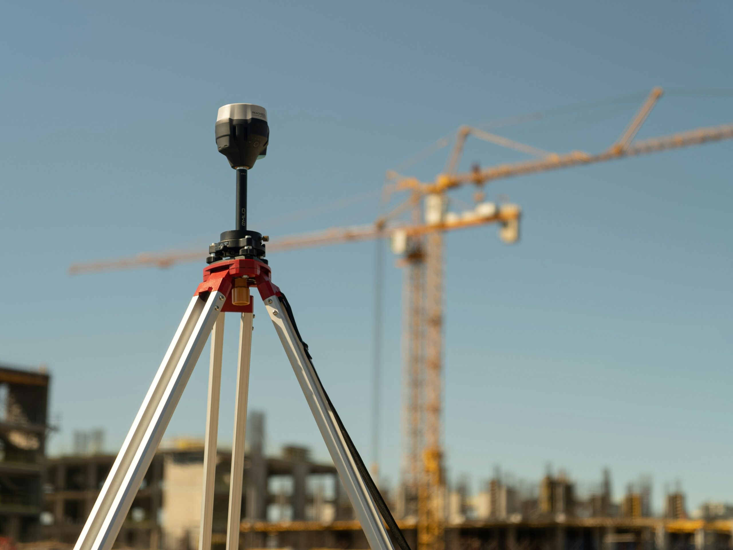
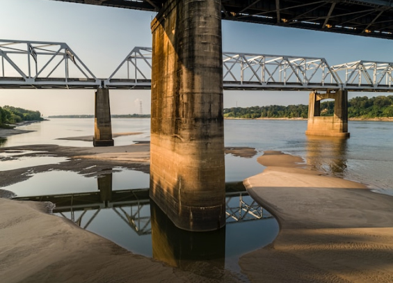
FWE provides precise surveying and mapping services to support planning, design, and execution of civil engineering projects. Using advanced equipment such as Total Stations, GPS, and drone-based photogrammetry, we capture accurate spatial data for topographic mapping, boundary demarcation, construction staking, and as-built documentation. Our surveying expertise ensures every phase of your project is built on reliable geospatial information—enabling informed decisions, reduced risk, and smooth project execution.


